Search app stores for “metal detecting” and you will find dozens of apps, most of them simulated detectors that use your phone’s magnetometer and cannot find a ring under a sofa cushion, let alone a coin under a field. Ignore those entirely. A phone cannot replace a detector.
What a phone is genuinely good for is everything around the detecting: recording exactly where each find came from, researching land before you ask for permission, checking that a field is not a protected site, and knowing when the tide will turn. This guide covers the apps and free online maps UK detectorists actually use for those jobs, and says plainly where something is free, paid, or only for members.
The short answer
- For recording finds: the NCMD app (free for NCMD members) logs findspots with photos and notes on a map.
- For grid references: a free grid-reference app, so you can give a Finds Liaison Officer an accurate findspot.
- For research: the National Library of Scotland’s free historic map viewers, which cover the whole of Britain, not just Scotland.
- For protected sites: the official heritage maps - Historic England’s list in England, PASTMAP in Scotland, Coflein in Wales - plus the government’s MAGIC map for nature designations.
- For beaches: ADMIRALTY EasyTide for free tide times, and The Crown Estate’s foreshore ownership map.
- Detector apps: some makers offer companion apps, such as XP’s GO TERRAIN. They are extras, not essentials.
Recording your finds
The NCMD app
The National Council for Metal Detecting’s app is the most useful app most UK detectorists will install, and it is free to NCMD members (you log in with your membership details). It lets you:
- Log the position of each find on an interactive map, with a satellite view so you can place it against hedges, trees and field boundaries.
- Take photos and add notes for each find.
- Back up your finds, so they survive a new phone.
- Read the NCMD’s news, use the members’ forum and see what to do if you make a major find.
NCMD membership costs £8 a year and includes public liability insurance; see our insurance guide.
Grid references for the Finds Liaison Officer
If you record a find with the Portable Antiquities Scheme, the findspot is as important as the object. A free grid-reference app, such as GPS OS Grid Reference, gives you an Ordnance Survey grid reference from your phone’s GPS, and works without a phone signal. Write it on the finds bag before you move on. Some guidance, such as North Norfolk’s fossil-collecting advice, also accepts what3words, but an OS grid reference is what archaeologists use.
The Portable Antiquities Scheme database
The PAS database at finds.org.uk is not an app, but it works on a phone and it is the best free identification aid there is. Search it for objects like yours and you will see how similar finds were identified and dated. Our guide to identifying Roman coins shows how the PAS dates coins.
Researching land
National Library of Scotland map viewers
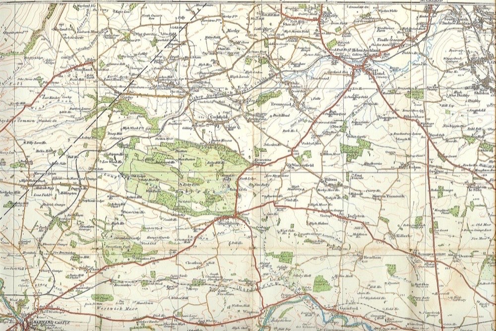
Despite the name, the NLS map website covers the whole of Great Britain, and it is the single most useful free research tool for detectorists. Its viewers let you look at historic Ordnance Survey maps - including the detailed six-inch maps of the Victorian era - and search them by modern place name or grid reference. Lost footpaths, vanished cottages, old fairs, ponds and field boundaries all show up, and they are where people dropped things. Our guide to researching land with old maps explains what to look for.
Who owns the land
For beaches, The Crown Estate’s foreshore and estuary ownership map, linked from its metal detecting page, shows which stretches it owns in England, Wales and Northern Ireland. Inland, there is no free equivalent, which is why knocking on doors and asking around still matters. Our permission guide covers how to approach landowners.
Checking a site is not protected
This is the step that keeps detectorists out of court. Detecting on a scheduled monument without consent is a criminal offence, and a protected nature site can carry its own restrictions.
- England: Historic England’s National Heritage List has a map search showing every scheduled monument.
- Scotland: PASTMAP shows scheduled monuments and other designations.
- Wales: Coflein and Cadw’s records cover Welsh monuments.
- Northern Ireland: the Department for Communities’ historic environment map viewer.
- Nature sites: the government’s MAGIC map shows Sites of Special Scientific Interest and other designations in England.
Check every new permission against these before you swing a detector, and keep a screenshot. Our UK metal detecting law guide covers what each designation means for you.
On the beach
- ADMIRALTY EasyTide, from the UK Hydrographic Office, gives free seven-day tide predictions for more than 600 locations around the British Isles. Low tide, especially after a storm, is the best time to detect, and knowing when the tide turns keeps you from being cut off.
- The Crown Estate’s foreshore map, as above, tells you who owns the beach. Our guide to beach detecting permits explains what that means for permission.
Detector companion apps
Some manufacturers make apps that connect to their detectors.
- XP GO TERRAIN shows targets and their target ID in real time when connected to a compatible XP detector, and can save targets automatically. It runs on recent iOS and Android phones, and is free to download with in-app purchases for premium features.
- Minelab’s GO-FIND app pairs with its GO-FIND 40 and 44 entry-level detectors, showing the detector’s display on your phone and plotting finds on a map.
These are nice to have if you own the matching detector. They will not make anyone a better detectorist on their own, and you do not need one to record finds properly.
Apps to avoid
- “Metal detector” apps that claim to turn your phone into a detector. They use the phone’s compass sensor and can only sense large lumps of steel at a few centimetres.
- “Treasure map” apps that claim to show where finds are. Real research comes from historic maps and permission, not from an app’s pins.
- Anything that shares your findspots publicly. Keep precise locations private, both to protect your permissions and to stop nighthawks - illegal detectorists - from visiting your sites.
Kit that goes with the apps
Recording works best when the paper side matches the phone side. These are items from our other guides; we have not tested them specifically with these apps.
For findspots: write-on grip seal bags (about £4.50 for 100)
Write the grid reference or app record number on the bag as you bag the find, so object and findspot never get separated. 4.6 stars from 516 reviews.
For research: Successful Detecting Sites (about £23)
The book on finding productive land before you ask for permission - the research that the map apps above make easier. Rated 4.4 stars from 107 reviews.
For the phone: a waterproof phone pouch
Detecting means wet hands, wet grass and muddy pockets. A waterproof pouch on a lanyard keeps the phone usable for photos and grid references in the rain. We have not picked a single model; the link shows current options.
Prices and ratings were last checked in October and November 2026 and will have moved.
Frequently asked questions
Is there an app that works as a metal detector? Not one that is any use for detecting. Phone “metal detector” apps use the compass sensor and can only sense large steel objects a few centimetres away. You need a real detector.
What is the best app for recording metal detecting finds? For most UK detectorists, the NCMD app, which is free to NCMD members and logs findspots, photos and notes on a map. Pair it with a grid-reference app so you can give an accurate findspot to a Finds Liaison Officer.
Is the NCMD app free? It is free to download but only works for NCMD members, who log in with their membership details. Membership costs £8 a year and includes public liability insurance.
How can I check if a field is a scheduled monument? Use the official heritage map for your country: Historic England’s National Heritage List in England, PASTMAP in Scotland, Coflein and Cadw in Wales, and the Department for Communities’ map viewer in Northern Ireland.
What app shows old maps for metal detecting? The National Library of Scotland’s free map website, which covers the whole of Great Britain and includes the detailed Victorian six-inch Ordnance Survey maps. It works in a phone browser.
Do I need my detector maker’s app? No. Apps such as XP’s GO TERRAIN and Minelab’s GO-FIND app add features for owners of compatible detectors, but nothing about detecting or recording depends on them.